Ratangad
and Sandhan Valley “The valley of Shadows”
Finally the trek been done by us .This time, we did Ratangad
from Ratanwadi village and descended to Samrad for the Sandhan valley and then
came to Ghatghar to get the bus to start our return journey to reach Pune.I was
accompanied with Kiran and Ajit.Total 3 members in the trek
On Day 1 (Climbed Ratangad with just one short break of 5
minutes)
We started around 6:30 am from Pune by bus going to Rajur
which is 20 kms before Bhandardara. We reached there till 11:45 am .Further, we
came to know that bus to Kumshet , its timings are unknown. We spent time till
1:00 pm at Rajur and came to know that there is only one bus to Kumshet around
5:00 pm and also we tried for jeeps but all in vain
Finally we decided that we will be going to Ratanwadi and
then climb Ratangad from there whatever the time may be but our destination for
day 1 was “the cave at Ratangad top”.We got one jeep towards Bhandardara and in
about 30 minutes, we were near the road going towards Samrad and Ratanwadi
hence instead of going towards Bhandardara, we got down at this point.
Now there were no jeeps further to Ratanwadi.Jeeps were
supposed to operate after 4:00 pm hence the option was only to walk till
Ratanwadi which was 15 kms. After walking 4 kms till Mutkhel, some local people
told us to take a boat which will drop to a point from where we can reach
Ratanwadi .We got a boat by which we came to Koltembhe village and further 7
kms walking through dried region in Bhandardara dam, around 4:45 pm, we reached
Ratanwadi
After 5:30 pm, we started to climb Ratangad along with local
person Nathu Zade and his son accompanied with us. These 2 people provide food
to trekkers in the cave and on the next day, he was supposed to prepare food
for 15 people from Mumbai hence along with all the materials, they both were
accompanied with us
We started climbing and in around 1 hour, it was getting
dark and since we were in midst of dense forests, there were couple of sounds
of animals. This local person said that once forest officials caught an leopard
and left him near Ratangad area hence sometimes, his roar is heard but there is
no danger. The leopard is far away from us.Among the river route,along the
dense trees and steep climbs,we finally reached a junction point of
Ratangad-Harishchandragad trek route. At this point, We took a short break of 5
minutes and headed towards the ladders.It was 7:00 pm and it was quite dark in
the forests.We started moving and in around 15 minutes, we reached the ladders
and then in 5 minutes, we reached the caves.We had the food prepared in the cave at the top
edging on the valley
Total walk on first day : 5 kms till Mutkhel+7 kms from Koltembhe to Ratanwadi+6 kms walk
till the cave from Ratanwadi
Total 18 kms walk on day one
Day 2( Descending Ratangad to Samrad->Sandhan Valley -> Return journey)
Got up early in morning .Even in the month of May, it was
quite colder like a normal winter day. It was very much foggy and cold .We just
traversed the whole Ratangad top from where we were getting views of the
Sahyadris near Katrabai,Ajoba Parvat and Kalsubai,Alang-Madan-Kulang and
Ghanchakkar,Muda along with the backwaters of Bhandardara backwaters
Around 8:00 am, we had our breakfast and started heading
towards Samrad our next destination where we were supposed to go to Sandhan
valley. The route from Trimbak Darwaza was a difficult one because the there
are rock cut steps and a narrow slit in rocks. The steps were directly into a
4000 feet valley to your front hence one needs to be careful while descending
from here. This route is not recommended for novice persons and also
experienced persons must be cautious while descending from here
After that, we came near the pinnacle. From here, there are
2 routes.Right towards Ratanwadi and Left towards Samrad.We took left to
descend to Samrad. This route descends towards Baan Lingi Pinacle and at one
point,There is a big rock in our way.From here, we have to take right to samrad
and the straight route goes in the forests. From here, after descending
completely, finding Sandhan Valley is difficult.
You will have to keep walking on the fields and you will
find a house in dense trees to your left(There is only one house outside Samrad
Village).Approx 300 meters before this house, you will see the route going
towards the river bed in dense trees .This is the route to Sandhan Valley
Sandhan Valley(Valley of Shadows) is a small slit between 2
mountains with a steep descent into valley with very big stones, boulders in
the way of river bed. This slit is of approx 2 to 3 kms .It takes around 1
hours to reach here. Further, there is a steep descent and a 40 feet big rock
patch which can be descended only by rappelling .At very few spots, sunlight
reaches hence there are shadows everywhere hence called Sandhan(सांदण दरी) which means shadows.
We went in this valley for 1 hours till the rappelling point
and again came back to Samrad.
From Samrad, we went walking till Ghatghar dam approx 4 kms.
During this walking, we were able to see a Deer in the forests.
Total walking on second day : 8 kms to Samrad+ 5 kms to and fro Sandhan Valley + 4 kms to Ghatghar
Total 17 kms walking
Total walking in 2 days 35 to 38 kms
We came to ghatghar and got a jeep to Bhandardara and further to Rajur,Akole and Sangamner from
where, we came to Pune
 |
| Start of the trek |
 |
| Katrabai Khind on way to Ratangad |
 |
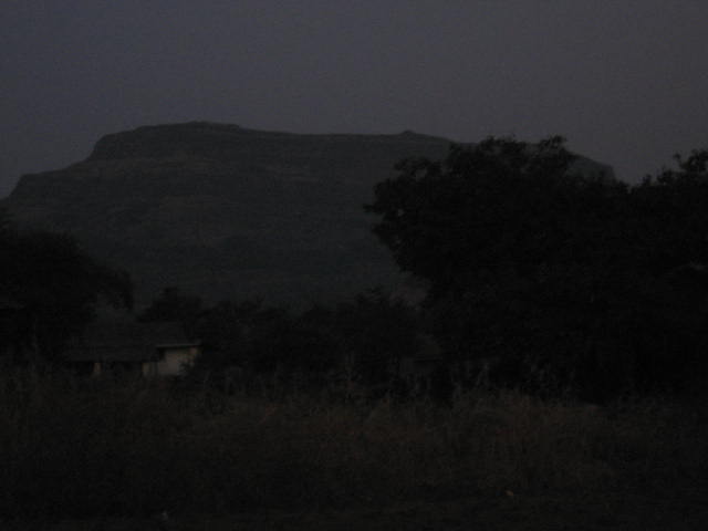
| Night time in forests |
 |
| Junction Point of Ratangad-Harishchandragad route |
 |
| Ladders in rocks |
 |
| Cave |
 |
| Cave on the edge of valley.Our night time halt on Ratangad |
 |
| Night time in cave.I did succesful testing of my LED torch.This torch was sufficient for light in night time and still working fine on 1 battery |
 |
| Morning time at cave |
 |
| Clouds floating |
 |
| Katrabai and Ajoba rock walls |
 |
| Pravara River Orignation Point |
 |
| Ratangad |
 |
| Needle Hole on top of Ratangad |
 |
| Trimbak Darwaza of ratangad |
 |
| Baan Lingi Pinacle.We entered in this valley to proceed to Samrad |
 |
| The route marked in red.Its unbelievable but we came from here |
 |
| Sandhan Valley Entrance point |
 |
| Around 3 kms length, this slit is like this |
 |
| Water pool in Sandhan Valley |
 |
| Direct descent in valley.We went till here.Further, there was a a big rock patch .We came back from here |
 |
| Deer in forests.Please zoom and see the area marked in red.You will see Deer here |
 |
| Ajoba Parvat from Samrad |